Limestone, Liberty, and the Underground: How Speleological Research Is Mapping the Geography of Freedom
Where Geology and History Converge
The story of the Underground Railroad has long been told through human courage, moral conviction, and clandestine organization. Less examined, however, is the physical landscape that made these journeys possible — the ridgelines, river crossings, and, increasingly recognized by researchers, the cave systems that punctuated key travel corridors across the eastern and central United States. Speleological science is now contributing a new dimension to this history, one measured not in miles walked but in meters of passage depth, limestone permeability, and aquifer proximity.
Geologists and historians have begun collaborating in earnest over the past decade, recognizing that the distribution of karst terrain across states such as Kentucky, Tennessee, Virginia, Maryland, and Ohio aligns with documented Underground Railroad routes with a frequency that warrants systematic investigation. The question researchers are now asking is not merely whether freedom seekers used caves, but how the specific geological properties of those caves shaped the routes themselves.
Karst Terrain as Natural Infrastructure
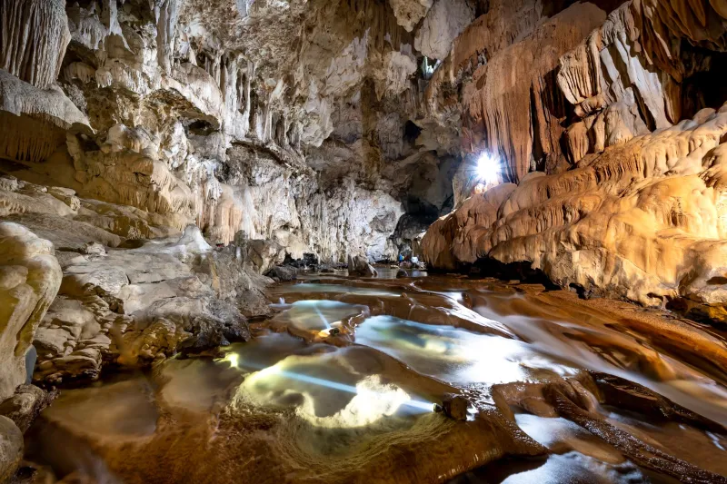
To understand why caves figured so prominently in clandestine travel, it is necessary to understand the karst landscape in which most of them form. Karst topography — produced when mildly acidic groundwater dissolves soluble bedrock such as limestone or dolomite over geological timescales — creates a subsurface environment characterized by irregular passages, chambers, and interconnected voids. At the surface, this terrain often presents as broken, heavily vegetated ground with sinkholes and spring outlets that complicate pursuit and obscure movement.
For individuals traveling at night and avoiding roads, karst regions offered several practical advantages. Surface irregularity reduced the effectiveness of organized search parties on horseback. Spring outlets provided reliable freshwater sources that did not require approaching inhabited settlements. And the caves themselves, particularly shallow horizontal passages accessible without technical equipment, offered concealment that surface terrain rarely could.
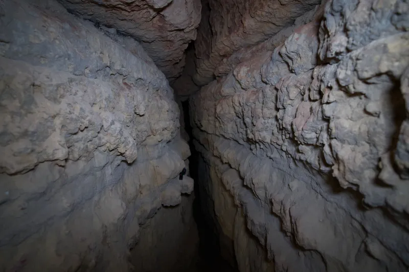
Speleologists examining historical accounts have noted that the caves most frequently referenced in oral histories and abolitionist records share a consistent set of morphological characteristics: low, wide entrances partially obscured by vegetation or talus, proximity to surface streams that could mask sound and scent, and interior chambers large enough to shelter multiple individuals for extended periods. These are not the dramatic, vertically complex cave systems that draw modern recreational explorers — they are the modest, accessible, and strategically situated cavities that karst terrain produces in abundance.
Identifying Previously Unknown Sites
One of the most significant contributions of contemporary speleological research to this field has been the identification of shelter sites with no prior historical documentation. Using a combination of LiDAR terrain analysis, historical hydrological mapping, and systematic ground survey, research teams working across the Appalachian karst belt have located cave entrances in positions that correlate strongly with documented travel corridors and waystation locations.
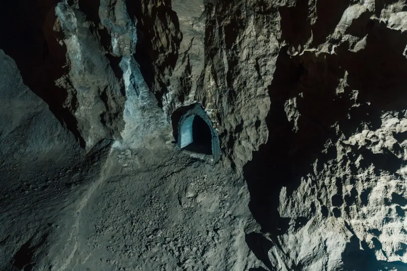
In several cases, interior examination of these sites has revealed physical evidence consistent with extended human occupation: carbon deposits on ceiling formations suggesting contained fire, shallow excavations near interior walls that may have served as sleeping areas, and in at least one documented instance in the upper Cumberland Plateau region, remnants of organic material that radiocarbon dating has placed within the antebellum period. While none of these findings constitute unambiguous proof of Underground Railroad use, the convergence of geological position, morphological suitability, and physical evidence is sufficient to warrant continued and more rigorous investigation.
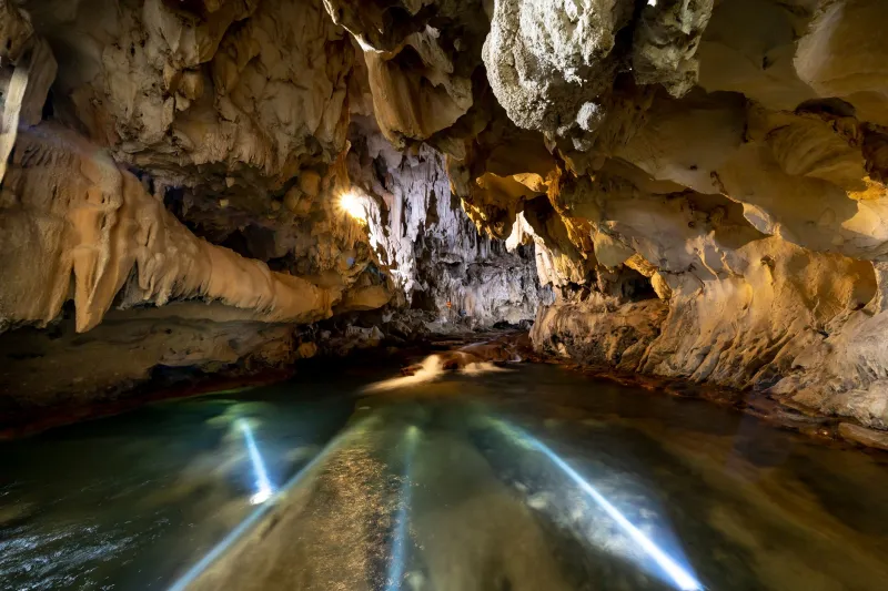
The hydrological dimension of this research has proven equally revealing. Subsurface water systems in karst terrain frequently resurface as springs at predictable intervals along valley floors, and these springs — historically documented as landmarks in traveler accounts — are now being mapped in relation to cave passage networks. In multiple instances, researchers have established that springs referenced in oral histories as rest and resupply points are hydrologically connected to nearby cave systems through conduit networks, suggesting that freedom seekers may have used cave passages not only for shelter but as navigational guides to reliable water sources.
The Science of Concealment
Beyond shelter and water, cave systems offered a quality that surface terrain could not reliably provide: acoustic isolation. Sound propagation within cave passages is complex and highly variable depending on passage geometry and airflow dynamics, but in many horizontal cave environments, sound generated at the entrance dissipates rapidly within a short distance of penetration. For individuals whose survival depended on remaining undetected, a cave passage offered a degree of acoustic concealment that a forest hollow or barn could not guarantee.
Speleoacoustic analysis — the study of how sound behaves within cave environments — has emerged as a supporting methodology in this research. By modeling sound propagation in caves identified as potential shelter sites, researchers can assess the degree to which interior occupants would have been shielded from detection by individuals at or near the entrance. Preliminary findings suggest that several documented and candidate shelter sites possess passage geometries that would have provided substantial acoustic concealment at interior depths achievable without artificial light.
Airflow patterns within caves also merit consideration. Many cave systems exhibit seasonal airflow reversal, drawing cool air outward in summer and warmer air outward in winter. In cooler months — when many escape attempts occurred, partly because tracking dogs were less effective in cold conditions — caves with outward airflow would have further complicated scent-based pursuit.
Methodological Challenges and Ethical Considerations
Researchers working at this intersection of speleology and history are candid about the methodological constraints they face. The archaeological record within cave environments is fragile and easily disturbed, and many sites of potential historical significance have been altered by decades of recreational visitation, agricultural runoff, or vandalism. Establishing direct evidentiary links between geological features and specific historical events requires a standard of documentation that the available record frequently cannot support.
Equally important are the ethical dimensions of this research. Many cave sites associated with Underground Railroad history hold deep significance for descendant communities, and the scientific investigation of these spaces must be conducted in partnership with those communities rather than in isolation from them. Several research initiatives currently underway have established formal consultation frameworks with local historical societies, African American heritage organizations, and tribal nations whose histories intersect with these landscapes.
The goal, researchers emphasize, is not to reduce a history of extraordinary human endurance to geological determinism. The courage and organizational sophistication of those who operated and traveled the Underground Railroad were not products of landscape — they were expressions of human agency under conditions of extreme duress. What the geological record can offer is a more complete understanding of the physical environment within which that agency operated.
A Subterranean Dimension of American History
The caves of the eastern and central United States have preserved atmospheric records, biological communities, and mineralogical archives stretching back hundreds of thousands of years. That they may also have preserved traces of one of American history's most consequential resistance movements is a prospect that speleological science is now equipped to investigate with rigor and care.
As LiDAR survey coverage expands and analytical methodologies continue to develop, the subterranean geography of the Underground Railroad is likely to become considerably more legible. What that geography ultimately reveals will belong not only to the scientific record but to the broader American reckoning with the landscape of freedom — and the stone corridors through which it moved.