Reservoirs in the Rock: How Karst Hydrology Is Becoming America's Most Powerful Drought-Fighting Tool
Beneath the sun-scorched landscapes of Texas Hill Country and the parched agricultural valleys of the Southwest, a quiet revolution in water management is unfolding — one measured not in concrete poured or steel erected, but in dissolved limestone and subterranean flow. Cave and karst systems, long studied primarily for their geological and biological significance, are now being examined with urgent practical intent by hydrologists, municipal planners, and agricultural water managers confronting a drying American landscape.
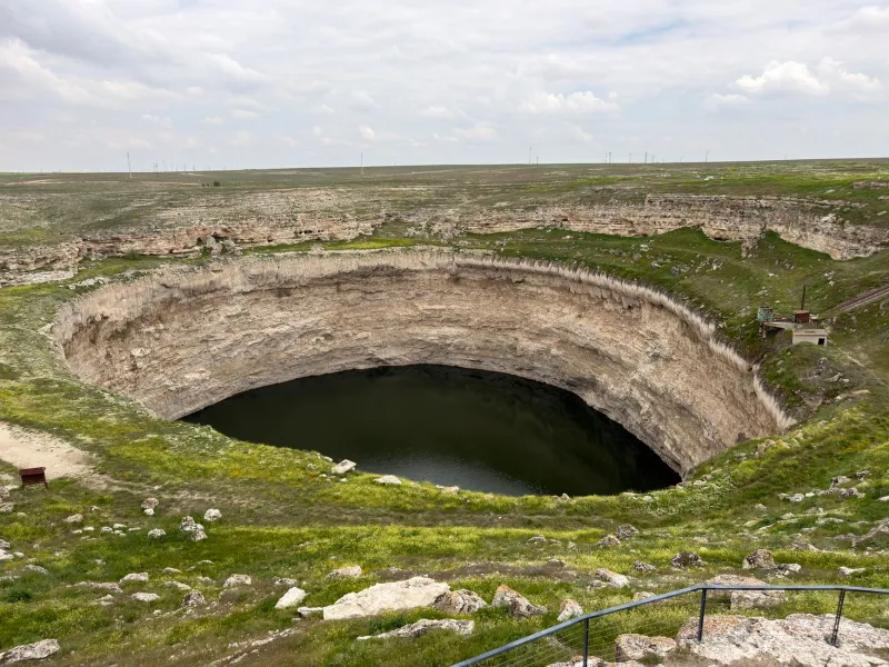
The United States holds an estimated 20 percent of its freshwater reserves in karst aquifer systems — porous, fractured limestone formations riddled with caves, conduits, and underground channels that have been sculpted by millennia of chemical erosion. For generations, these systems were treated as passive reservoirs: sources to draw from, not systems to actively manage. That perspective is changing rapidly as drought conditions intensify and surface water supplies become increasingly unreliable.
The Architecture of Underground Water
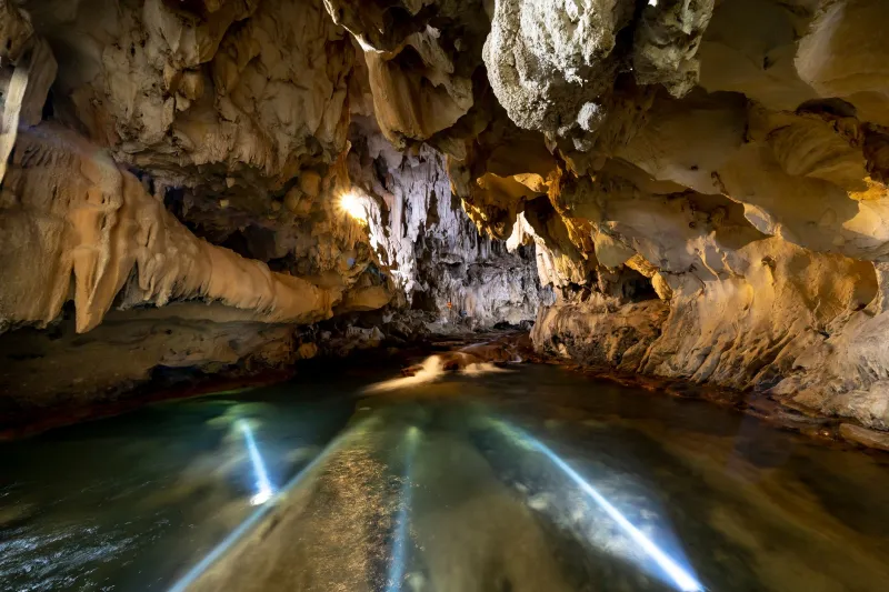
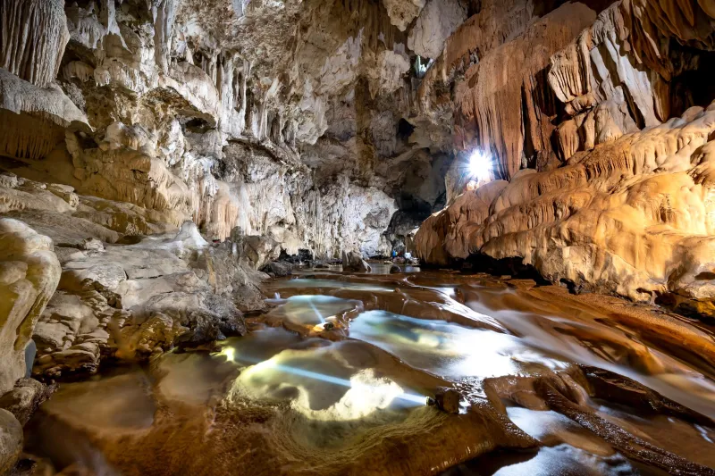
To understand why cave systems are attracting such serious attention from water engineers, it helps to appreciate their structural complexity. Unlike a conventional aquifer — which stores water in the pore spaces between grains of sand or gravel — a karst system moves water through an interconnected network of fractures, conduits, and open cave passages. This architecture gives karst hydrology a dual character: it can transmit water with remarkable speed through large conduits while simultaneously storing vast quantities in slower-moving matrix porosity surrounding those channels.
This combination of fast transmission and distributed storage is precisely what makes karst systems attractive as drought mitigation infrastructure. Water introduced at one point in the system — whether from a surface recharge zone, a sinkhole, or a managed injection well — can travel tens of miles underground before emerging at a spring or well field. Along that journey, it is naturally filtered, temperature-stabilized, and protected from the evaporative losses that plague surface reservoirs in hot, arid climates.
In regions where surface evaporation rates can claim 30 to 60 percent of stored reservoir water annually, the appeal of moving that storage underground is not merely academic — it is economically and ecologically compelling.
Texas: The Edwards Aquifer as a Living Laboratory
No American case study better illustrates the strategic potential of karst water management than the Edwards Aquifer in south-central Texas. Stretching roughly 180 miles from west of Brackettville to the northeastern edge of the Austin metropolitan area, the Edwards is one of the most productive karst aquifers in the world, supplying drinking water to more than two million people and supporting extensive agricultural irrigation across one of the nation's most drought-prone regions.
The Edwards Aquifer Authority, established in 1993 following federal litigation over endangered species dependent on spring flows, has spent three decades developing what amounts to a managed karst water system. Aquifer storage and recovery (ASR) programs now allow water managers to inject surplus water — captured during wet periods from the Guadalupe and San Antonio rivers — directly into the karst system through permitted wells. That water is then recovered during drought periods, effectively using the limestone formation as a seasonal bank account.
Recent expansions of ASR capacity in the region have demonstrated that karst systems can accept and return water with greater efficiency than previously modeled, provided that injection rates are carefully calibrated to avoid overwhelming the natural filtration capacity of the rock matrix. Researchers affiliated with the Bureau of Economic Geology at the University of Texas at Austin have published findings suggesting that strategic ASR operations in karst terrain can extend effective water supply by measurable months during critical drought years — a margin that translates directly into avoided crop losses and sustained municipal service.
Florida's Floridan Aquifer: Scale and Complexity
If the Edwards Aquifer represents a refined, intensively managed karst system, the Floridan Aquifer System offers a study in sheer scale. Underlying all of Florida and portions of Georgia, Alabama, and South Carolina, the Floridan is one of the most extensive karst aquifer systems on the planet. Its upper zones, heavily karstified and riddled with cave passages — many of them explored and documented by the cave diving community — have long supplied municipal water to cities including Tampa, Orlando, and Jacksonville.
But the Floridan's role in drought resilience is evolving beyond passive extraction. The Southwest Florida Water Management District and its counterparts have invested significantly in aquifer recharge programs that direct treated reclaimed water, stormwater, and surface water into karst recharge zones during wet seasons. These programs are designed not only to sustain groundwater levels but to build strategic reserves against the intensifying dry seasons that climate projections suggest will characterize Florida's future.
The ecological dimension of this work adds a layer of complexity absent from purely engineered water systems. The Floridan's cave passages host a remarkable assemblage of stygobitic organisms — species that exist nowhere else on Earth and depend on stable, high-quality groundwater conditions. Managing injection volumes and water chemistry to support both human water supply and cave ecosystem integrity requires ongoing collaboration between water engineers and cave biologists, a partnership that reflects the maturing interdisciplinary character of karst science.
The Southwest's Emerging Karst Strategies
Beyond Texas and Florida, water managers in Arizona and New Mexico are examining karst formations with growing interest, even where those systems are less extensively mapped. The Verde Valley in Arizona overlies carbonate formations with karst characteristics, and preliminary hydrogeological assessments suggest meaningful storage potential that remains largely unquantified. Similarly, portions of the Pecos River basin in New Mexico traverse karst terrain that hydrologists believe could support managed recharge operations at meaningful scale.
The challenge in these western contexts is the relative scarcity of baseline karst mapping data. Unlike the Edwards or Floridan systems, which have been studied for decades, many western karst formations lack the detailed conduit mapping and flow characterization necessary to design responsible managed recharge programs. This is where the speleological community's contributions become directly relevant: systematic cave survey data, tracer test results conducted by researchers and exploration teams, and spring discharge records accumulated over years of scientific caving provide the foundational datasets that water engineers require before committing infrastructure investment.
Risks, Limits, and the Path Forward
The enthusiasm surrounding karst-based water management strategies is warranted, but it must be tempered by clear-eyed acknowledgment of the risks. Karst systems are not passive infrastructure; they are living geological and biological environments with finite capacity and sensitivity to chemical perturbation. Poorly designed injection programs can introduce contaminants into drinking water supplies, disrupt cave ecosystems, and alter subsurface flow paths in ways that are difficult to reverse.
The scientific consensus among karst hydrologists is that managed recharge and ASR programs must be preceded by rigorous characterization work — including cave exploration and survey where physically possible, geophysical imaging, and multi-point tracer testing — to establish the hydraulic boundaries and biological sensitivities of the target system before operational commitments are made.
Regulatory frameworks, which vary considerably from state to state, are also evolving to accommodate the growing interest in subsurface water management. Several states are currently revising their underground injection control rules to create clearer pathways for karst ASR projects while establishing enforceable protections for cave ecosystem integrity.
What is increasingly clear is that the hidden architecture beneath America's feet — the cave passages, conduits, and karst voids that speleologists have spent generations documenting — represents a water management resource of genuine national significance. The science of understanding these systems, and the fieldwork required to characterize them, has never been more consequential.